http://kehilalinks.jewishgen.org/brody/sherins_cadastral_map1.2.html
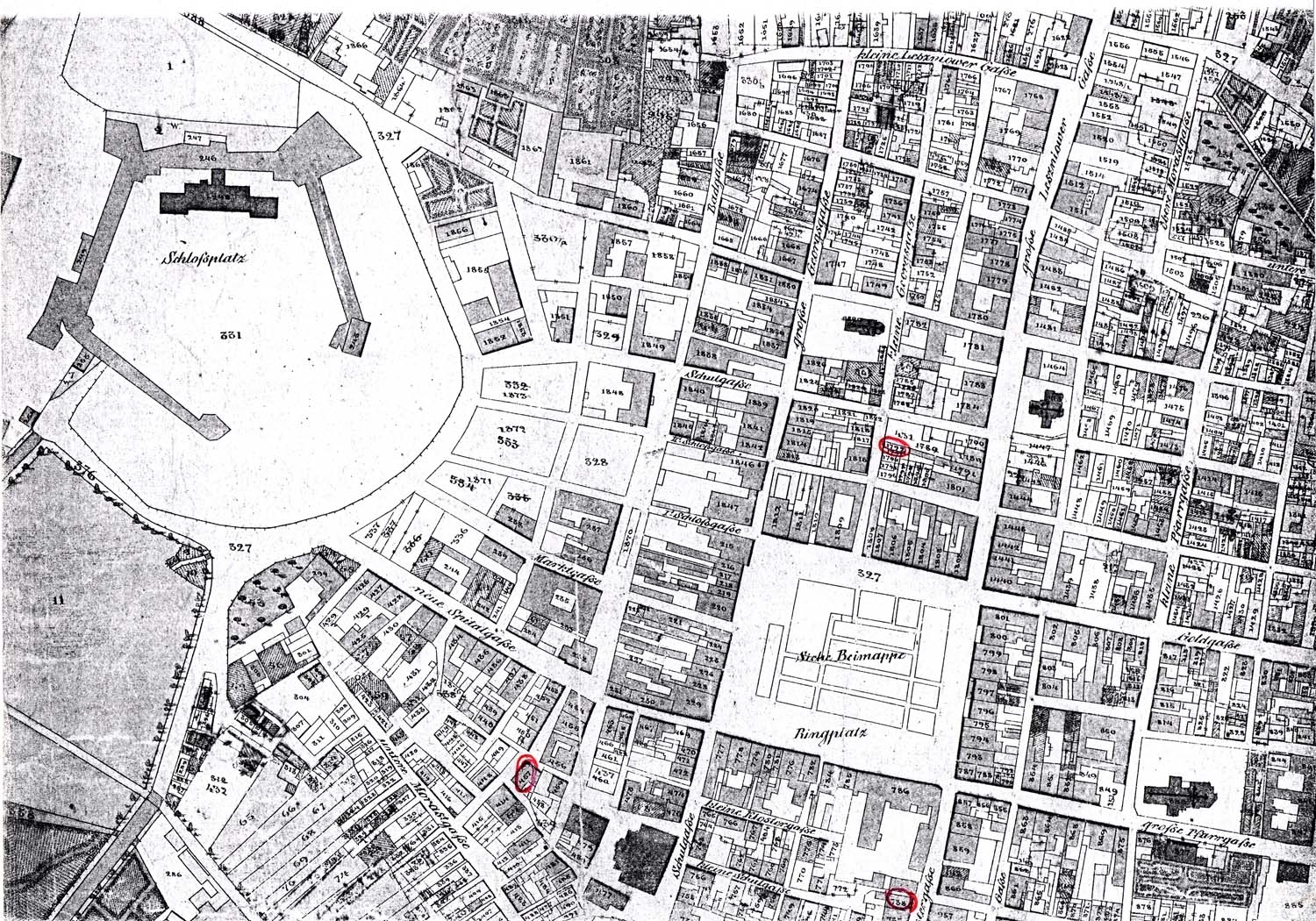
Above is a Cadastral Map, also known as a Cadastral Survey, which is a register of the metes and bounds real property of a country. This helps to establish and determine details of ownership, using coordinates of a precise location to help determine the value of a parcel of land. This image shows Brody, Austria and was designed back in 1844.
No comments:
Post a Comment